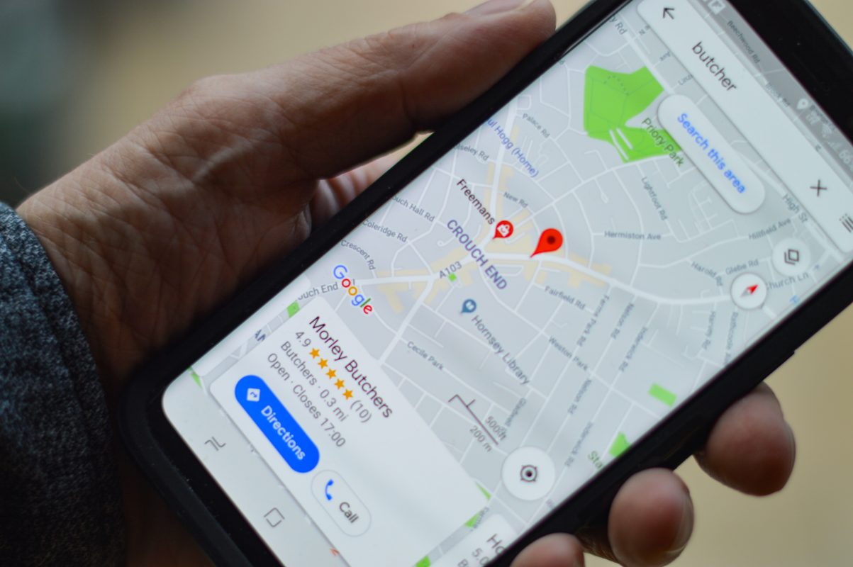
How can geospatial data make a difference in your marketing campaigns? Geospatial data is important for marketers because it helps you understand the location and size of markets. The more information gathered using geospatial data, the better understanding you will have on your ideal target market’s behavior, preferences and needs.
This blog post will cover what geospatial data is and how it can be used in marketing campaigns. Keep reading to find out how geospatial data help you make more informed decisions your marketing campaigns.
Geospatial Data
Geospatial data is information about a specific location on the earth’s surface. This location may not be a stationary object like a house. It could be static and related to an earthquake, the location of equipment, a road, children who live in poverty, etc. Or, it could be dynamic and related to something moving like a pedestrian or a vehicle or an infectious disease spreading. It can also involve large data sets taken from different sources in various formats, such as satellite imagery, census data, cell phone data, weather data, social media data, or drawn images.
The geospatial data includes all this information and the coordinates on earth to make the temporal location information even exist. Geospatial data in large amounts are known as open data. This means that users can access the information for free, including localities, open roads, public amenities, and more. The use and development of this data are heavily supported. When this big data is used in geospatial analytics and shared, discovered, and used with traditional business data, it is extremely beneficial, especially in Geofencing marketing.
Geospatial Analytics

Geospatial analytics adds location and timing to traditional data types that can be used for location-based advertising. It builds data visualizations that can include graphs, maps, statistics, and/or cartograms showing current shifts and historical changes.
This additional context provides a complete picture of events. Overlooked insights in large spreadsheets can be revealed and easy to recognize as images and visual patterns. Predictions can be made more accessible, faster, and more accurate.
Geospatial Information Systems (GIS)
GIS specifically relates to the physical mapping of data shown within a visual representation. To understand what GIS looks like in action, think about a hurricane map that shows time and location overlaid with a layer that shows potential lightning strike areas.
Types of Geospatial Data
Geospatial data information can be recorded in conjunction with different geographic indicators for a designated market area. There are two main forms of geospatial data known as vector and raster data.
Vector data uses lines, polygons, and points to represent features like cities, roads, properties, mountains, and areas with water. For example, vector data that uses a visual representation might include roads represented by lines, towns represented by polygons, or houses represented by points.
Raster data is gridded or pixelated cells identified according to columns and rows. It creates more complex imagery such as satellite images and photographs.
Examples of Geospatial Data
The following includes some examples of geospatial data:
Vectors and attributes
Descriptive location information using lines, points, and polygons.
Point clouds
A collection of charted points co-located that are recon textured in 3D models.
Raster and satellite imagery
High-resolution images of earth taken from above.
Census data
Census data that are tied to particular geographic areas to study community trends.
Cell phone data
Calls routed by satellite that is based on specific GPS location coordinates.
Drawn images
CAD images of structures, delivering architectural data and geographic information.
Social media data
Social media posts are studied by data scientists to identify emerging trends.
Dealing with Geospatial Big Data Challenges
Because large geospatial big data sets can present many challenges, many organizations find it hard to take advantage of the full potential of geospatial data. Take weather-related data, for example. The total volume of weather-related data generated daily is estimated at 100 TB. This requires a considerable amount of storage and can present problems of access for many organizations.
Geospatial data may also be stored across numerous files, making it difficult to locate the required data to solve a specific problem. Geospatial data is also calibrated by different standards and stored in several different file formats.
Any effort to combine, map, or compare data would first require a substantial amount of reformatting and data scrubbing. Finally, it would take specialized knowledge and advanced mathematics to work with raw geospatial data and conduct important tasks, like the alignment of geospatial data layers.
Unless analysts are experienced and proficient in this work, they won’t get the full value of the data or achieve progress towards their business goals.
Location Visitor Data Technology

Location Visitor Data technology has endless possibilities. If you are ready to build your marketing audience that includes prospective consumers who are actively searching for your products and services, we are ready to help. We can help create a Lazer Marketing Data campaign comprised of prospected visitors of the specific physical locations you choose. You will own the data of a listed audience that begins populating immediately and is added daily.
You can also kickstart your marketing campaigns via Lookback Visitor Data. Because the audience is yours, you can select who you want to market to and when you want to market to prospects: today, tomorrow, or any time. Strategically build your own prospect list in real-time, rather than depend on off-the-shelf prospects that you don’t even know where they came from. Our Location Visitor Technology identifies and delivers active:
– Prospective consumers shopping at competitors’ locations.
– Prospective consumers at gatherings where they would potentially purchase your products or services.
– Prospective consumers who camp, boat, golf, ski, race, travel, or visit points of interest. The options are endless!
Website Visitors
Each month you have thousands of website visitors who browse your inventory and read your content. While analytics allow you to see where your visitors go within your site and how much time they spend there, it is a mystery who they are. Until now that we can identify them with “Shy Shopper” to know who doesn’t fill out your forms.
This technology not only allows website operators and organizations to identify visitors, but we can also reveal up to 300 different attributes on the consumers. In addition, to the standard attributes like name, email, gender, postal address, and DOB, you also receive specific details such as home and vehicle ownership, presence of children, political party involvement, and much more.
In the end, geospatial data is important in marketing because it can be used to understand the spatial relationships between different locations.Geospatial data helps marketers better target their databases with more accurate ads while measuring the success of campaigns by location.

